
Carlsbad Neighbor Block Records
A block lookup works when each source is given a narrow job. GIS shows parcel shapes and layers. The assessor connects an APN to property characteristics and an ownership channel. The Recorder shows indexed parties and transfers after the address has been crosswalked to a name or parcel. City permits and planning files show public project details. Voter data is restricted, and a neighborhood or HOA page can expose a public contact without publishing a member list.
| Source | What It Shows About a Block | Access |
|---|---|---|
| City and County GIS | APNs, parcel shapes, nearby lots, and jurisdiction layers | Carlsbad GIS and County ISRP web maps |
| Assessor property information | Parcel characteristics, situs, and an ownership information channel | County property page by address or APN; phone or kiosk for ownership |
| Recorded documents | Transfers, liens, indexed parties, type, date, and document number | Official Records Index from 1970 forward; kiosk and images |
| Permits and planning | Public project parties, work description, dates, notices, and status | City portals, agendas, or a focused public-record request |
| Voter records | Registered voter information only under an approved purpose | Self-lookup or restricted data application |
| Community contacts | Public officers, meeting details, and a way to reach an organization | City neighborhood pages and public association contacts |
The table describes a block, not a complete roster. An APN may identify an owner channel while the physical parcel includes several households or units. A public association page may list a board contact while keeping members private. Neighbors become easier to understand when the source and its limit stay attached to each fact.
Map Adjacent Carlsbad Parcels
The City of Carlsbad GIS page links parcel lines, public property, city facilities, and other map applications. The County Integrated Spatial Information System provides a wider parcel and land-use view. The adjacent-parcel method begins with one known address and moves outward by geometry, not by a name list.
- Search or identify the target parcel and capture its APN, situs address, and visible jurisdiction layers.
- Zoom until parcel polygons and labels are clear, then click the lots immediately beside and across the right-of-way.
- Record each neighboring APN and use the linked property-information option or a separate APN search for each parcel.
- Compare the parcel results with recorded documents, permits, and planning files that carry the same address or APN.
- For the full named-street chain, move to the Carlsbad street directory and keep the block work separate from the wider street walk.
The dynamic ArcGIS viewer does not publish a stable text inventory of every layer, selection mode, or result field. Read the current controls as displayed, and treat a GIS boundary as reference data rather than a land survey.
Convert Neighbor Shapes to APNs
An APN is the stable parcel key in a Carlsbad neighbor lookup. It connects the map polygon to assessor characteristics, tax data, planning cases, and recorded documents even when street wording changes. Preserve the APN exactly, then keep the situs address, mailing address, subdivision or lot, and legal description in separate fields.
County web property tools emphasize APN, characteristics, and maps. Ownership remains available through the County information line and office kiosks. The Recorder’s web index reaches 1970 forward, but APN search was removed from the public web index on December 9, 2024 because of AB 1785. APN search remains available at five office kiosks. That online and in-person split matters when the goal is to trace a nearby parcel through a deed.
Use the crosswalk this way: target address to APN; APN to the current ownership channel; identified owner to the Recorder index; document number to the deed or lien image; and grantor to an earlier grantee. A parcel map can show who is next door in geometry. It cannot by itself show who is inside a home or unit.
Note: Record the APN before moving across sources because a street label can change while the parcel key remains the useful link.
Owners and Occupants on Carlsbad Blocks
Carlsbad property records distinguish the situs from the tax mailing destination. A mailing address elsewhere can reflect an absentee owner, trust administrator, or chosen notice address, but it is not proof of who lives at the parcel. A current owner may not be the current occupant, and a person connected to a parcel may not be listed in the ownership record at all.
Other household members, guests, people using a unit, and protected residents do not become public simply because a GIS polygon is visible. DMV addresses are controlled by the Driver’s Privacy Protection Act, 18 U.S.C. sections 2721-2725, and California law. Utility customer accounts are generally private. A voter address is purpose-restricted. Safe at Home and other protected records are deliberate stops, not gaps to fill with inference.
For a neighbor question, label each result as parcel, owner channel, recorded party, public project participant, organization contact, or unknown occupant. That vocabulary prevents a property clue from becoming a claim about a person’s current presence.
Carlsbad Block Permits
City permits and planning files add a public development layer around a Carlsbad address. The building service can point to permit records, while planning files, agendas, and notices may carry an address or APN, project parties, work description, issue or final dates, and status. A focused request through the Carlsbad City Clerk public-records channel can be useful when a portal does not expose the known file.
Permit evidence dates construction or alteration. It does not date every household, and a listed owner, applicant, or contractor is not necessarily a resident. Code, planning, coastal, flood, school, and district layers can answer jurisdiction questions without revealing private household details. Save the permit number, address, APN, and date together so a later parcel check can be audited.
On an older block, a permit may be the bridge between a modern street address and a parcel or subdivision description. On a newer tract, subdivision maps and planning notices may carry more useful history than a city directory. Either way, the record belongs to the parcel or project, not to a complete list of Carlsbad neighbors.
Carlsbad Community Areas
Carlsbad’s recognizable community areas give a block search useful local context, but they are not citywide resident rolls. The City’s neighborhood information and public planning notices are the safest starting layer for community contacts. Associations and HOAs are property-specific, so a place name alone should not be treated as proof that every nearby parcel belongs to the same group.
| Community area | Useful public layer |
|---|---|
| Village, Barrio, and Olde Carlsbad | City neighborhood information, planning notices, library history, and older parcel or street context |
| La Costa | City contact layer, property-specific association pages, planning and subdivision records |
| Aviara and Poinsettia | Public city information, parcel maps, permits, and association board contact where published |
| Calavera Hills and Rancho Carrillo | GIS, planning notices, subdivision context, and public community contacts |
| Bressi Ranch and coastal or southern areas | GIS parcel layer, city projects, and public neighborhood or HOA contact paths |
The City of Carlsbad neighborhoods page is a public contact layer. It can help identify the right civic or association channel without exposing a private member list.
Carlsbad Public Contact Paths
When a neighbor question is really a request to reconnect, use an organization as an intermediary. A public HOA or neighborhood board contact can forward a note. The Chamber of Commerce directory can locate a public organization or business. The North San Diego County Genealogical Society and the Georgina Cole Library can help with historic community research. None of these public contacts should be treated as a private membership roster.
California Secretary of State bizfile Online is an affiliation resource. It can show an entity name, number, type, status, jurisdiction, agent, supplied addresses, and filing images. A filing may help explain the organization connected to a block or public business address, but it does not prove a person lives nearby.
The business search image shows the public entity route used to verify an affiliation rather than identify private Carlsbad neighbors.
Keep the entity number and filing date with the result, and ask the organization to pass along a message instead of seeking its member addresses.
Carlsbad Voter File Limits
San Diego County’s voter lookup asks for house number, date of birth, street components, ZIP, and related registration details so one voter can verify a record. It is not a public name search for a block. The county’s full voter information is restricted to election, scholarly, journalistic, political, or governmental purposes under Elections Code sections 2187(g) and 2194 and California Code of Regulations, title 2, sections 19001-19013.
An approved data application can cover a statewide file or up to ten specific voters. The published fee for a specific voter record is $30 each, capped at $100. Released data may include participation such as election type, date, and voting method, never ballot choices. Signatures, Social Security numbers, driver-license or state-ID information, and protected voter addresses are withheld.
A block-level request for casual neighbor curiosity is not a lawful shortcut. The public method is the parcel and project chain, plus a public community contact that can forward a message.
Official and Commercial Carlsbad Neighbor Records
Official records and commercial household compilation tools can both mention an address, but they have different evidence and different failure modes. The comparison matters when a result looks complete only because several inferred fields repeat the same old source.
| Category | Useful evidence | Limits |
|---|---|---|
| Official parcel and city records | GIS geometry, APN, assessor characteristics, recorded parties, permits, planning notices | May not identify occupants, household members, or protected people |
| Official voter or court records | Self-registration status, approved voter data, party and case indexes where public | Purpose restrictions, sealed material, date cutoffs, and no casual street browse |
| Commercial neighbor tools | May combine filings, marketing data, and inferred household links into a quick view | Can lag moves, confuse units, merge names, and lack a clear custodian |
| Public organization contact | Board, officer, meeting, or business contact that can forward a message | Not a private member directory and not proof of residence |
The auditable route is narrower: adjacent geometry to APN, APN to property channel, identified party to recorded document, and public organization to a forwarded message. That sequence gives neighbors useful context without pretending to enumerate every household.
Privacy Stops a Carlsbad Neighbor Lookup
California privacy rights include access, correction, deletion, and opt-out rights for covered data uses, subject to exceptions. The California Privacy Protection Agency’s DROP process gives a deletion route for registered data brokers. A broker deletion does not remove the original county, court, city, or state record. Use the source custodian for correction and a business privacy notice for a private copy.
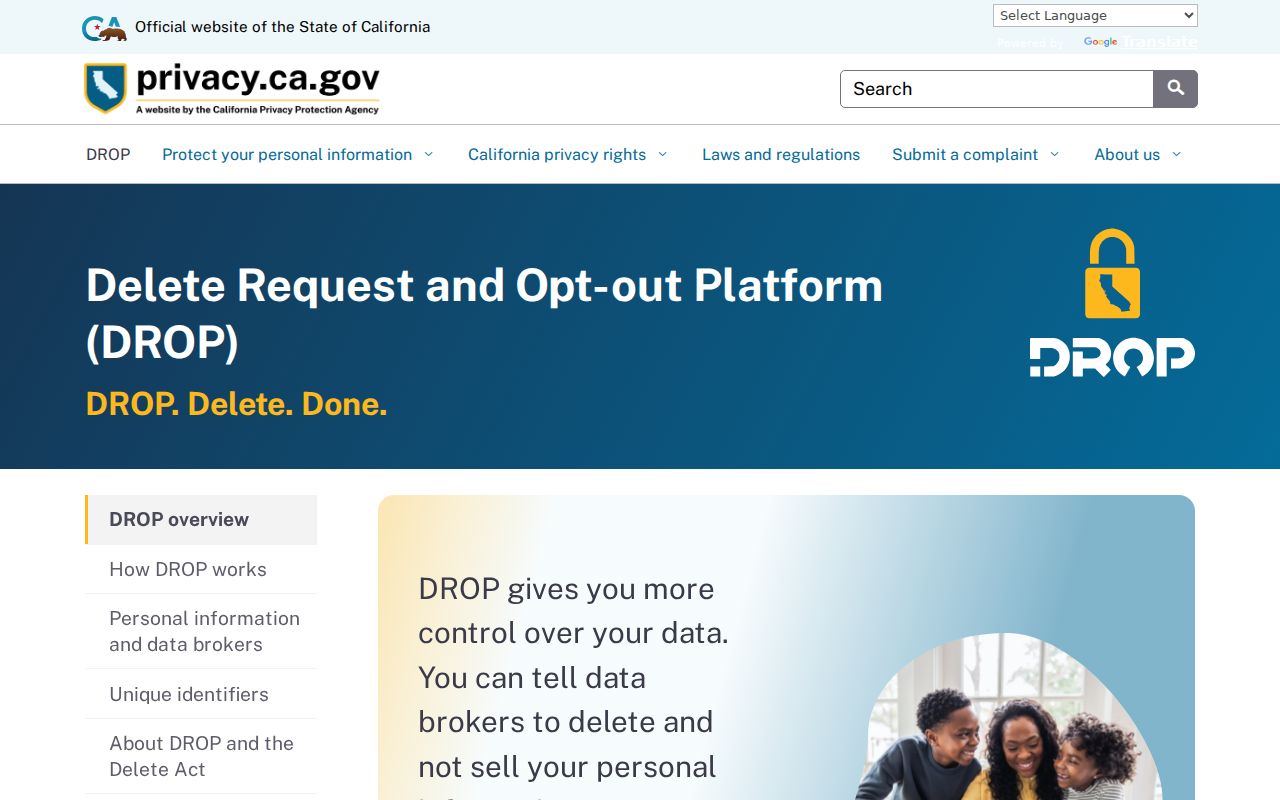
The California DROP privacy portal is a privacy resource for data-broker deletion, not a resident lookup tool.
Safe at Home provides a substitute mailing address and confidential voter registration for qualifying participants. Government Code sections 6205-6211 and section 6209.5 protect specified uses, but the program does not erase material already public. Never infer a protected address from a parcel, voter, court, business, or map clue.
Lawful use. Carlsbad neighbors research is appropriate for personal safety awareness, civic contact, genealogy, reconnecting, and understanding a block. Do not use a record to stalk, threaten, follow, impersonate, dox, or intimidate anyone. California Penal Code sections 646.9, 422, and 653.2, Code of Civil Procedure section 527.6, and official registry rules impose real limits.