
Carlsbad ZIP Code Coverage
The geographic core of the Carlsbad ZIP code directory is four street-delivery ZIPs. Two more ZIPs are identified for PO boxes, not for a residential situs. Small Census boundary intersections with neighboring ZIP areas add another reason to check the complete address rather than rely on a city label.
| ZIP Code | Areas Covered | Postal Role | Notes |
|---|---|---|---|
| 92008 | Village, downtown, Barrio, Olde Carlsbad, and northwest or coastal-central areas | Carlsbad street delivery | Older core with strong historic-address potential |
| 92009 | La Costa and southeast or east-of-El Camino Real master-planned areas | Carlsbad street delivery | Neighborhood, HOA, school, and district lines can differ |
| 92010 | Northeast, Calavera Hills, and north-central or east areas | Carlsbad street delivery | Later development makes parcel checks useful |
| 92011 | Southwest and coastal-south areas, including Aviara and Poinsettia vicinity | Carlsbad street delivery | Newer subdivisions and condominiums are common |
| 92013 | PO boxes | Carlsbad postal boxes | Not a residential situs geography |
| 92018 | PO boxes | Carlsbad postal boxes | Not a residential situs geography |
The County’s North Coastal geographic list uses SANDAG and SanGIS ZIP data dated April 15, 2025 and includes 92008 through 92011. The Census Bureau also shows small intersections with 92024 and 92054. Those edge references are useful for geography, but they do not turn neighboring postal areas into general Carlsbad street ZIPs.
The County ZIP boundary source shows the regional list used for the geographic check.
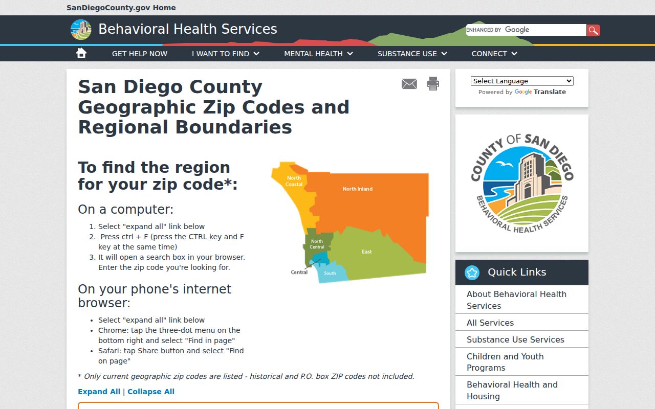
The map is a regional reference, so a complete address still needs a USPS delivery check and a parcel or city-boundary check.
Carlsbad ZIP Code Search Order
A ZIP code directory entry is only as sound as the address behind it. Use three checks in a fixed order when a boundary matters. USPS answers the delivery question. GIS answers the city and parcel question. The APN connects that parcel to County property records. This is more reliable than treating a mailing city as a municipal boundary.
- Enter the complete street address in the USPS ZIP Code Lookup. Save the returned ZIP and preferred city label.
- Open Carlsbad GIS or the County ISRP viewer. Test the incorporated boundary, parcel polygon, and relevant jurisdiction layers.
- Capture the APN from the map or property information. Use the County assessor property page to compare the APN, situs, and parcel characteristics.
- Only then choose a name, court, property, or records path. Keep the ZIP, normalized situs, APN, and legal description together.
The ZIP code directory cannot replace an address-keyed records chain. Once a ZIP narrows the area, the Carlsbad street directory is the natural next step for parcel-by-parcel work along a named street.
PO-Box ZIP Codes in Carlsbad
92013 and 92018 are different from the four geographic ZIPs because the research identifies them as PO-box ZIPs. A PO-box ZIP points to a postal box service, not to a street parcel or a neighborhood block. It should not be used as a residential situs in an address-to-owner search.
When a form offers both a home ZIP and a mailing ZIP, use the home ZIP for a location question and the complete mailing address for delivery. A county voter self-lookup uses ZIP as one credential tied to a registered address. A PO-box number may support correspondence, but it cannot identify the physical parcel where a person lives.
Property research should shift from the box to the street address, APN, or legal description. If no street situs exists, the correct conclusion is that the postal record does not provide one, not that a nearby parcel belongs to the box holder.
Carlsbad ZIP Code Older Core
92008 covers the Village, downtown, Barrio, Olde Carlsbad, and northwest or coastal-central areas. These places are the strongest zone for older street, directory, photograph, newspaper, and permit research. A name search from this ZIP may benefit from historic sources because the built environment and street record trail can reach farther back than in a later master-planned tract.
Older records may use a rural route, subdivision lot description, earlier postal identity, or a street form that does not match today’s mailing line. Compare the normalized address with the APN, recorded subdivision map, permit legal description, and historical directory entry. The ZIP helps place the search. It does not prove that a historical address used the same number or city label.
Note: In the older Carlsbad core, preserve the original address wording before converting it to a modern USPS format.
Carlsbad ZIP Code Parcel Checks
92009 reaches La Costa and southeast or east-of-El Camino Real master-planned areas. 92010 covers much of the northeast, Calavera Hills, and north-central or east development pattern. 92011 covers southwest and coastal-south areas, including the Aviara and Poinsettia vicinity. These ZIPs are useful area keys, but neighborhood, HOA, school, district, and city lines do not always coincide with postal delivery.
Later subdivisions are often better documented by subdivision maps, assessor maps, permits, planning notices, and public project files than by old directory volumes. A condominium may share a street address while its units have separate APNs. A large parcel can contain several addresses. The parcel-first method keeps a ZIP label from doing work that only a legal description or map can do.
This is the main geography contrast in Carlsbad: the older 92008 core favors directories, newspapers, census pages, photographs, and permits, while newer areas favor maps, permits, subdivision records, and public planning files.
Carlsbad ZIP Code City Limits
A ZIP code is a USPS delivery construct. A ZCTA is a Census statistical approximation built for population and demographic tables. A city limit is a legal municipal boundary. The three can overlap without matching. “Carlsbad, CA” in a mailing line is a preferred postal city label, not proof that the parcel lies inside incorporated Carlsbad.
- ZIP code
- The five-digit USPS delivery area used to route mail to a complete address.
- ZIP+4
- An added four-digit delivery segment that narrows routing inside a five-digit ZIP.
- ZCTA
- A Census statistical approximation of ZIP geography, used for aggregate data rather than named resident searches.
- PO-box ZIP
- A postal area centered on boxes, not a street-delivery neighborhood or residential parcel.
- Unique ZIP
- A ZIP assigned to one organization or facility rather than a general delivery area; no Carlsbad assignment of this kind was documented here.
- Carrier route
- A delivery route inside a postal area; it is not a city boundary or household roll.
- APN
- The County Assessor’s parcel identifier, used to connect a physical lot to property records.
On the edge of Carlsbad, the Census profile can show small intersections with 92024 or 92054 even though those are neighboring postal geographies. For legal jurisdiction, use city GIS. For mail, use USPS. For demographic data, use the ZCTA definition that accompanies the Census table.
Carlsbad ZIP Fields in Voter Lookup
The San Diego County voter lookup uses ZIP as part of a private self-verification match. It does not accept a ZIP as a browse command for a Carlsbad resident directory. The full voter file is limited to election, scholarly, journalistic, political, or governmental purposes under Elections Code sections 2187(g) and 2194 and California Code of Regulations, title 2, sections 19001-19013.
| Lookup field | Format | Role in the ZIP check |
|---|---|---|
| House Number | Text | Matches the numeric portion of the registered residence. |
| Date of Birth | Month, day, year | Confirms the voter’s own registration match. |
| Street Name and Type | Text plus dropdown | Separates the street name from Avenue, Road, Street, or another type. |
| Pre and Post Direction | Optional dropdowns | Preserves directional parts of the registered address. |
| ZIP Code | Five-digit text | Completes the address credential; it is not a public area filter. |
| Party Preference | Dropdown or result | Shows a recognized party or no party preference where offered. |
Authorized voter data can include participation such as election type, date, and voting method, but never ballot choices. Signatures, Social Security numbers, driver-license or state-ID data, and protected voter addresses are withheld. A ZIP mismatch can result from an address change, an incomplete registration, or a record still being processed.
Carlsbad ZIP Code USPS Check
The USPS address lookup is the right first source when the question is where a complete address receives mail. It can verify the delivery ZIP and preferred city label. It does not decide whether a parcel sits inside Carlsbad city limits, which neighborhood association covers a property, or which APN carries the legal title.
The postal lookup screenshot shows the delivery check that anchors a Carlsbad ZIP code directory search.
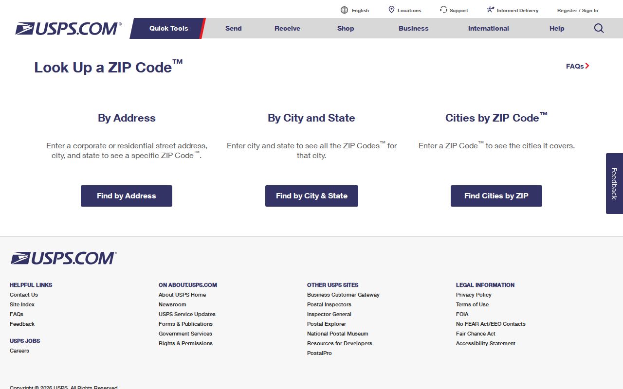
Use the returned ZIP as a mail fact, then compare it with GIS and APN data before using the address in a resident or property workflow.
Carlsbad ZIP Privacy Records
California privacy rights can affect how a ZIP-linked record is copied or reused. The California Consumer Privacy Act and California Privacy Rights Act provide covered people rights to know or access, delete, correct, opt out of sale or sharing, limit some sensitive-data uses, and receive equal service, subject to coverage and exceptions. The Delete Act and California Privacy Protection Agency’s DROP process add a broker-deletion route. Deleting a broker copy does not erase the public record at the county, court, city, or state source.
The California privacy rights source explains the legal framework behind a ZIP-linked privacy request.
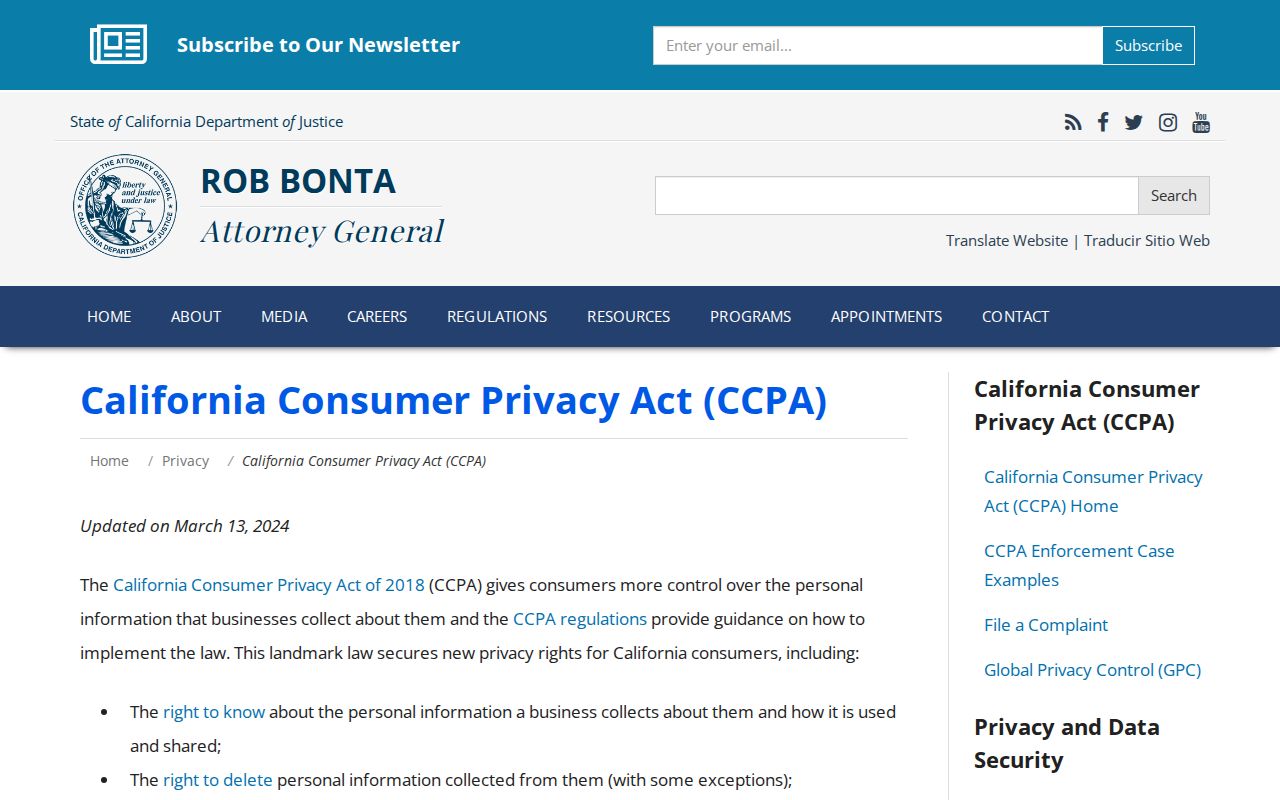
The privacy page is a rights resource, not a way to create a ZIP resident list. Use a business’s privacy notice, provide only needed verification data, save the confirmation, and use a Global Privacy Control signal where supported.
For the statutory text behind a public-record request or a boundary question, the California Legislature code search is the primary text source.
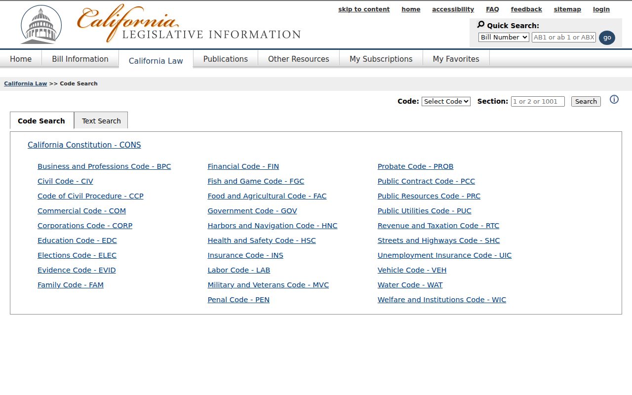
That legal source helps separate a request for an identifiable existing record from a request that would require an agency to build a new list.
Carlsbad ZIP Code Resident Limits
No local records portal located in the research offers a safe general search for every person in a Carlsbad ZIP. Assessor and GIS tools can display parcels, characteristics, and maps, but the public web property interface does not provide owner-name browsing in the ordinary way. Ownership information is available through County telephone and office-kiosk channels. The voter lookup is for self-verification, and the full file is purpose-restricted.
Census data supplies counts and demographic aggregates for ZCTAs, not names. State business and license searches can accept city or county filters, but they return entities or credential records, not a household roll. A business address may be an agent or office address. A property mailing address may differ from the situs. Each distinction prevents a ZIP code directory from overstating what a source proves.
San Diego County’s Owner Alert service adds a prospective fraud-monitoring option for property owners. It can monitor up to ten names and/or ten APNs per email, then sends a document number or link when a later recorded transfer or lien is indexed. It does not send document contents and does not reconstruct a historical resident list.
Three-geography rule. USPS answers delivery, Carlsbad or County GIS answers boundary and parcel shape, and the APN answers which property record to follow. Keep all three results dated.